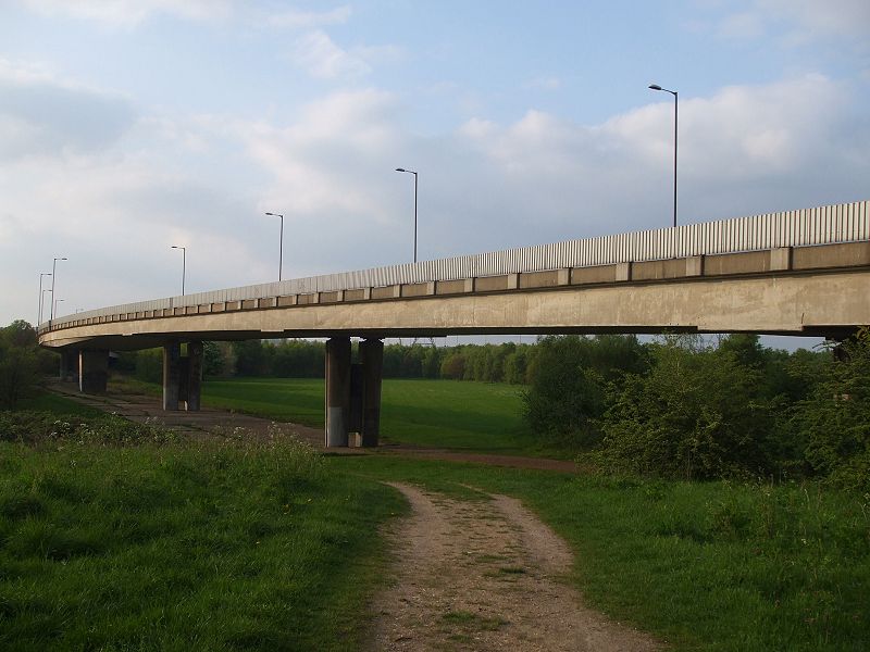
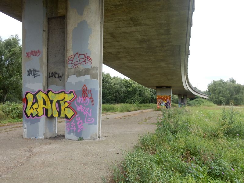
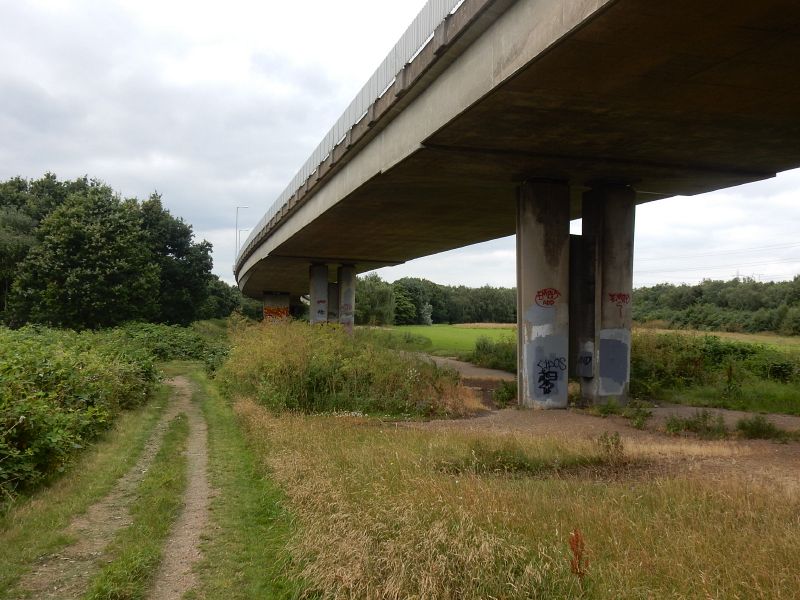
Sunil_of_Yoxley wrote: ↑Sat Jul 17, 2021 09:53Also I would be very interested to see the layout plans myself. I just wonder why there's that different "trapezoid" cross-section bridge support on the northbound slip shown in the picture I posted upthread.
I've done some poking around and I think you're on to something with this specific bridge support. In your photo, it's clear that it's not just an unusual shape, it also forms the focus of a point where the bridge deck changes shape, curving down a bit towards it. That strongly suggests that it was designed differently because it was the centre point of something significant.
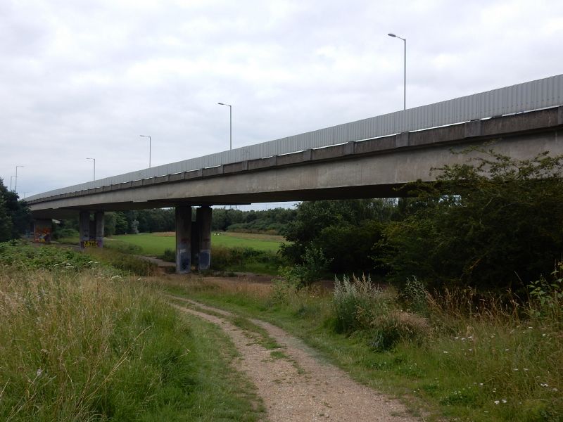
From your photo it appears to stand at approximately the place where the present-day streetlighting switches from the right to the left side of the sliproad, which makes it possible to mark its location on aerial photography and compare it to the plans. Unfortunately the plans I have don't show the location of supporting piers, and in any case they all show a much shorter viaduct than the one that was eventually built, but the differently-shaped pier does seem to fall at approximately the point where the mainline M11 would have passed underneath.
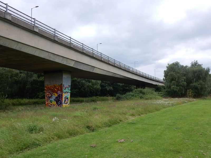
I'd surmise from that, and the shape of the bridge deck, that it was meant to stand in the central reservation and be a feature of the bridge design. So while I don't have evidence to conclusively say you're right, I'd say your theory is a pretty good bet!
Attached below is the plan sheet that best shows the whole junction layout - though to understand it you need to know that the main part of the plan shows option 4B, which has sliproads between the M11 inbound and Redbridge Roundabout. 4B was discarded as an option so those slips (and the C/D carriageways approaching Redbridge) were not part of the plan. The chosen layout, 4C, is shown in the boxout at top right, though confusingly it also shows 4A and the two are overlaid. Option 4C is the one that curves into the housing estate to the west, which is top left.
This comes from the consulting engineers' study at the point where the junction was first being designed, and before the extant parts came to be built the proposals were evidently refined, because some of the bridge structures (as described above) are longer or otherwise very subtly different from what you see here.
That, and the fact that the quality of the reproduction is terrible, and some tedious copyright issues, are just some of the reasons I don't bother posting many original plans like this to the website!