Apologies for the delay, but I have now more or less covered the class III network in County Fermanagh after reaching the fourth significant gap in he NI class III numbering sequence (C453-C500 are all unused). The only exception to this may be a couple of C7xx numbers near the border which could crop up at the end, as is the case with Belfast. County Fermanagh seems to have been originally allocated the C401-C500 number range with C452 being the highest used number.
The numbering roughly follows this order in geographical terms:
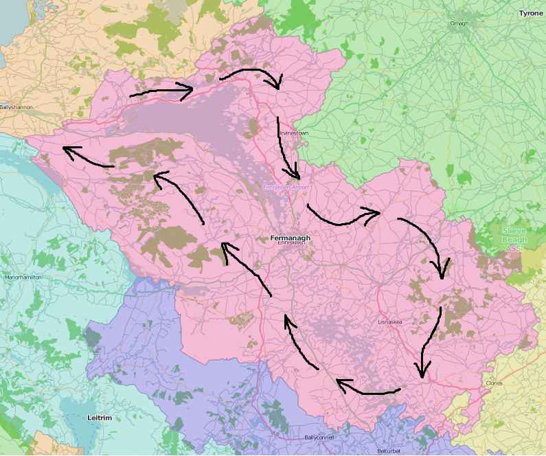
The distribution of the numbers can therefore be broken down into rough groups as follows:
 C401 - C413
 North Fermanagh/Kesh/Irvinestown
C414 - C423 Enniskillen to Fivemiletown
C424 - C430 Rosslea/Lisnaskea/Newtownbutler
C431 - C436 Upper Lough Erne
C437 - C448 West Fermanagh/Belcoo/Garrison
C449 - C452 misc
Of these numbers only C410, C420, C432 and C437 are not currently in use with the C410 never being used and the other three being defunct. I presume C449 to be out of sequence as it is located to the east of Belcoo amongst the low C440s rather than out towards the far west of the county with other like-numbers.
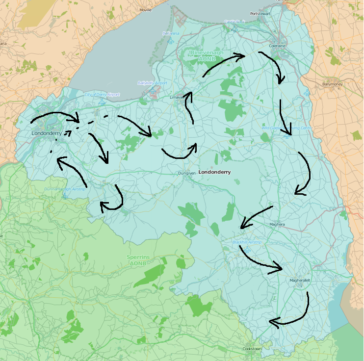
Compared with other counties that I have covered so far the geographical sequence for Fermanagh seems to be much more straightforward with just a simple clockwise circuit of the two main loughs, rather than all of the zigzagging and hopping back and forth that is common elsewhere. Next is County Londonderry/Derry.