
Having recently returned from a holiday in our camper van in the Scottish Highlands, I wanted to share some pictures of a very special road we visited
We were on the north coast at Durness and wanted to visit the very NW tip of The UK at Cape Wrath. The road to Cape Wrath is the U70 and is not linked to any other road and the only way to access it is by ferry. Now while it's still mainland, a road has never been built to it. The ferry service crosses The Kyle of Durness and is Britain's smallest ferry service!

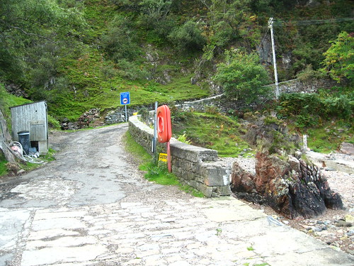
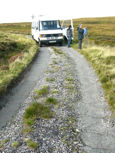
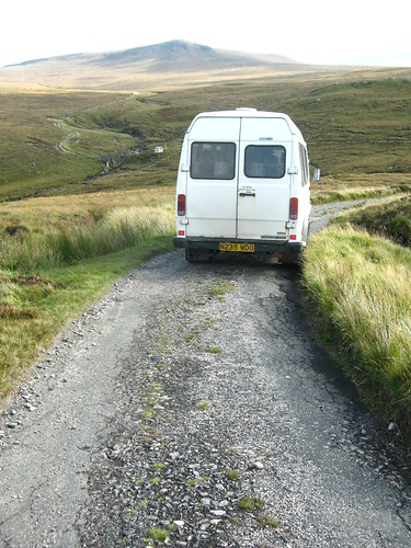
The road begins here were two minibuses await you

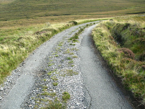
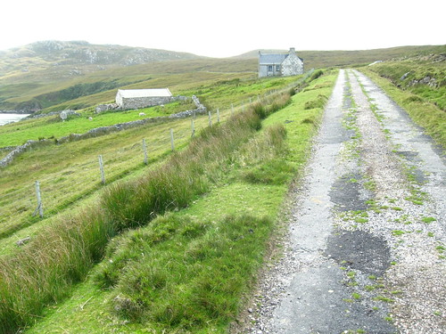
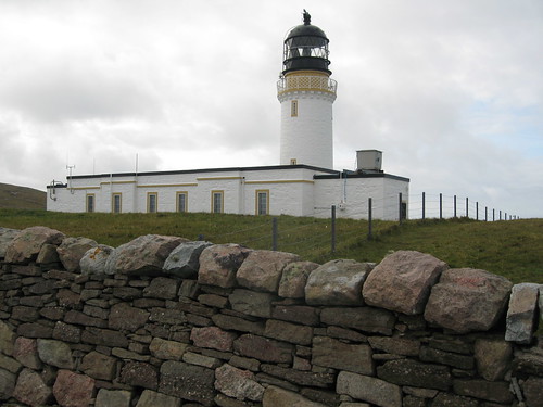
The road was built in the early 1800s to allow a Stevenson lighthouse to be built to help prevent the massive loss of life to shipping at the treacherous extremity of The UK
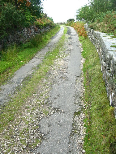
It's 11 miles in length

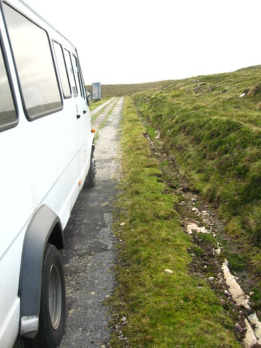
with just a few passing places

The lighthouse was fully automated in 1992 so the road only has to cater for a few thousand tourists annually
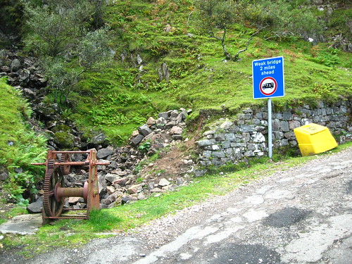
There remain a few derelict buildings; indications of how busy this area used to be - not very, bust busier than now!
An area in the middle is still used by the MOD for testing and is sometimes closed off using these manned gates

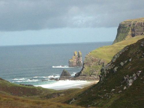
The lighthouse is well worth a visit, as is the book written about this area (can't find book. if interested, please ask)
Go explore!
Ferg


