C56 (North Ayrshire)
Jump to navigation
Jump to search
| C56 | ||||
| Location Map ( geo) | ||||
 | ||||
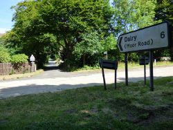
| The west end of Fairlie Moor Road, between the Hunterston roundabouts on the A78 | ||||
| ||||
| From: | Clydeport, Hunterston (NS203530) | |||
| To: | Dalry (NS284494) | |||
| Via: | Fairlie Moor Road | |||
| Distance: | 5.8 miles (9.3 km) | |||
| Meets: | A78, B780 | |||
| Highway Authorities | ||||
| Traditional Counties | ||||
| Route outline (key) | ||||
| ||||
This article is about the Class III road numbered C56 by North Ayrshire Council.
For roads that are numbered C56, see C56.
For roads that are numbered C56, see C56.
The C56 starts at Fencebay Farm on the A78 between Fairlie and Hunterston. It climbs steeply up and follows Fairlie Moor Road across the rugged moor, passing a couple of reservoirs along the way. It then drops steadily down into Dalry. As it enters the town, it becomes Wingfaulds Avenue before finishing on the B780 to the west of the town centre.
| C56 (North Ayrshire) | ||
| ||
|


