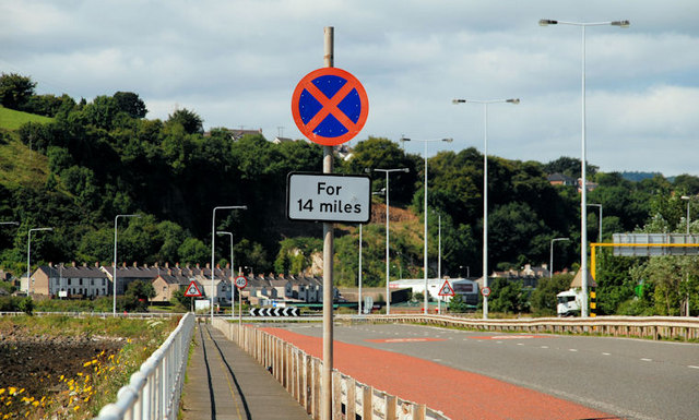
File:"Clearway" sign, Larne - Geograph - 2012551.jpg
Jump to navigation
Jump to search

No higher resolution available.
"Clearway"_sign,_Larne_-_Geograph_-_2012551.jpg (640 × 385 pixels, file size: 90 KB, MIME type: image/jpeg)
| |||||||||||||||||||||||||
|
Galleries | A8 (Northern Ireland) | T9 (Northern Ireland) | Larne | ||
File history
Click on a date/time to view the file as it appeared at that time.
| Date/Time | Thumbnail | Dimensions | User | Comment | |
|---|---|---|---|---|---|
| current | 18:04, 25 April 2013 | | 640 × 385 (90 KB) | Si404 (talk | contribs) | "Clearway" sign, Larne |
File usage
The following 2 pages use this file: