File:"Ring of Steel" - Former A4208 St Bride Street - Coppermine - 540.JPG
Jump to navigation
Jump to search


Size of this preview: 800 × 600 pixels. Other resolution: 1,600 × 1,200 pixels.
Original file (1,600 × 1,200 pixels, file size: 468 KB, MIME type: image/jpeg)
| |||||||||||||||||||||||||
|
Galleries | A4208 | A201 | S2 | Central London | ||
File history
Click on a date/time to view the file as it appeared at that time.
| Date/Time | Thumbnail | Dimensions | User | Comment | |
|---|---|---|---|---|---|
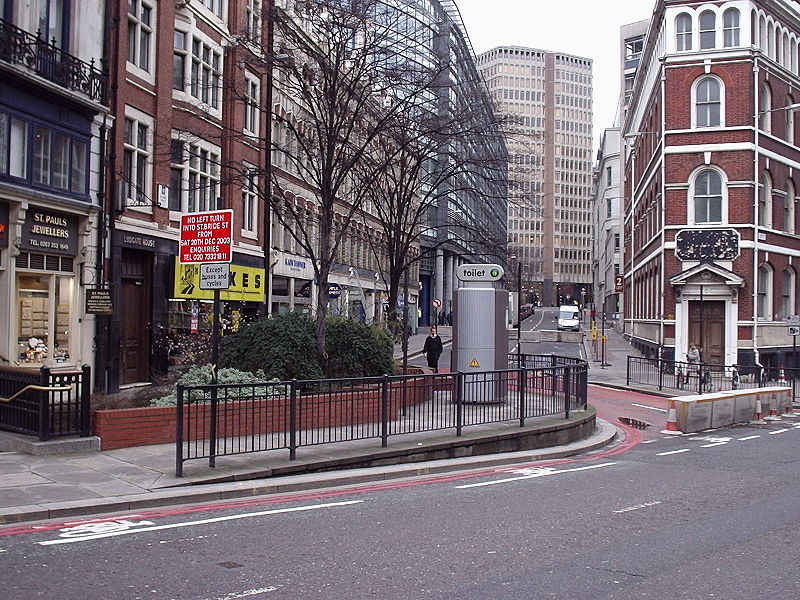
| current | 12:55, 24 June 2010 | | 1,600 × 1,200 (468 KB) | Bob@romiley1 (talk | contribs) | '''"Ring of Steel" - Former A4208 St Bride Street''' In Dec 03 the "Ring of Steel" was extended to that part of the City of London west of Farringdon Street. This is St Bride Street, taken from the Farringdon Street end, looking north-west. Note that the |
File usage
The following page uses this file: