File:'s bus station - Geograph - 1098346.jpg
Jump to navigation
Jump to search

No higher resolution available.
's_bus_station_-_Geograph_-_1098346.jpg (640 × 441 pixels, file size: 93 KB, MIME type: image/jpeg)
| |||||||||||||||||||||||||
|
Galleries | A671 | ||
File history
Click on a date/time to view the file as it appeared at that time.
| Date/Time | Thumbnail | Dimensions | User | Comment | |
|---|---|---|---|---|---|
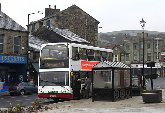
| current | 11:24, 24 September 2009 | | 640 × 441 (93 KB) | Bob@romiley1 (talk | contribs) | {{Information |description = Bacup\'s bus station |day = 30 |month = 12 |year = 2008 |photographer = © Copyright [http://www.geograph.org.uk/profile/3464 michael ely] and licensed for reuse under [http://creativecommons.org/licen |
File usage
The following page uses this file: