File:'s Road, Isleworth - Geograph - 744657.jpg
Jump to navigation
Jump to search

No higher resolution available.
's_Road,_Isleworth_-_Geograph_-_744657.jpg (640 × 427 pixels, file size: 81 KB, MIME type: image/jpeg)
| |||||||||||||||||||||||||
File history
Click on a date/time to view the file as it appeared at that time.
| Date/Time | Thumbnail | Dimensions | User | Comment | |
|---|---|---|---|---|---|
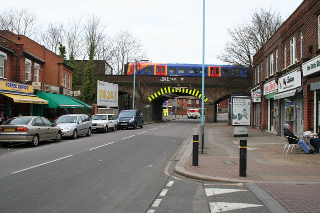
| current | 21:27, 20 December 2009 | | 640 × 427 (81 KB) | Bob@romiley1 (talk | contribs) | {{Information |description = Railway bridge over St. John\'s Road, Isleworth |day = 06 |month = 03 |year = 2008 |photographer = © Copyright [http://www.geograph.org.uk/profile/796 Dr Neil Clifton] and licensed for reuse under [ht |
File usage
The following 2 pages use this file: