File:130-142 Church Road (C) Stephen Richards - Geograph - 1775109.jpg
Jump to navigation
Jump to search

No higher resolution available.
130-142_Church_Road_(C)_Stephen_Richards_-_Geograph_-_1775109.jpg (640 × 400 pixels, file size: 327 KB, MIME type: image/jpeg)
| |||||||||||||||||||||||||
File history
Click on a date/time to view the file as it appeared at that time.
| Date/Time | Thumbnail | Dimensions | User | Comment | |
|---|---|---|---|---|---|
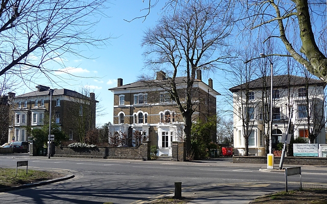
| current | 20:06, 8 January 2015 | | 640 × 400 (327 KB) | Vlad (talk | contribs) | '''130-142 Church Road (C) Stephen Richards '''<br/>A selection of solid mid-C19th houses of similar scale, but each differing slightly in the styles and motifs employed. The one on the right is now a doctors' surgery.<br /> Church Road has a number o... |
File usage
The following 2 pages use this file:
_Stephen_Richards_-_Geograph_-_1775109.jpg&oldid=393256)