File:1923 Bristol Portway.png
Jump to navigation
Jump to search

Size of this preview: 662 × 599 pixels. Other resolution: 1,436 × 1,300 pixels.
Original file (1,436 × 1,300 pixels, file size: 3.68 MB, MIME type: image/png)
| |||||||||||||||||||||||||
File history
Click on a date/time to view the file as it appeared at that time.
| Date/Time | Thumbnail | Dimensions | User | Comment | |
|---|---|---|---|---|---|
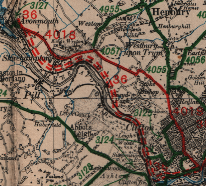
| current | 12:17, 30 April 2010 | | 1,436 × 1,300 (3.68 MB) | Ritchie333 (talk | contribs) | The Portway, Bristol, under construction in 1923, with the original route of the A4018 running parallel |
File usage
The following page uses this file: