File:1967 National Atlas map - Coppermine - 391.jpg
1967_National_Atlas_map_-_Coppermine_-_391.jpg (600 × 511 pixels, file size: 73 KB, MIME type: image/jpeg)
| |||||||||||||||||||||||||
|
Galleries | Other Mapping | ||
File history
Click on a date/time to view the file as it appeared at that time.
| Date/Time | Thumbnail | Dimensions | User | Comment | |
|---|---|---|---|---|---|
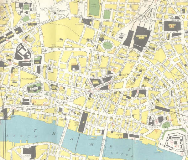
| current | 14:31, 13 May 2013 | | 600 × 511 (73 KB) | Nickdunn (talk | contribs) | '''1967 National Atlas map''' OP Nightdriver <small>''Originally uploaded to Coppermine on Apr 06, 2005 by M4Simon''</small> |
File usage
There are no pages that use this file.