File:2008 - Bath Road, Atworth (C) Maurice Pullin - Geograph - 677301.jpg
Jump to navigation
Jump to search

No higher resolution available.
2008_-_Bath_Road,_Atworth_(C)_Maurice_Pullin_-_Geograph_-_677301.jpg (640 × 464 pixels, file size: 83 KB, MIME type: image/jpeg)
| |||||||||||||||||||||||||
|
Galleries | A365 | ||
File history
Click on a date/time to view the file as it appeared at that time.
| Date/Time | Thumbnail | Dimensions | User | Comment | |
|---|---|---|---|---|---|
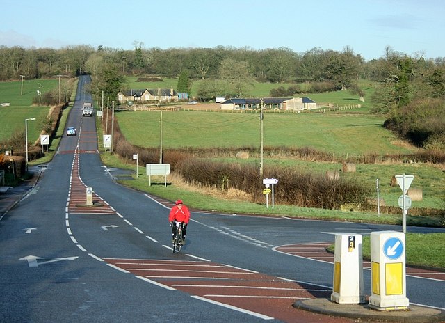
| current | 11:28, 27 January 2014 | | 640 × 464 (83 KB) | Vlad (talk | contribs) | '''2008 - Bath Road, Atworth (C) Maurice Pullin '''<br/>The A365 leaves Atworth heading west for Box and Bath. A minor road to the right heads north to Neston and Corsham.<br /> In the middle distance we see Denley Farm. |
File usage
The following page uses this file:
_Maurice_Pullin_-_Geograph_-_677301.jpg&oldid=361875)