File:2009 - A4174 Bristol ring road at Siston Common - Geograph - 1550800.jpg
Jump to navigation
Jump to search

No higher resolution available.
2009_-_A4174_Bristol_ring_road_at_Siston_Common_-_Geograph_-_1550800.jpg (640 × 513 pixels, file size: 201 KB, MIME type: image/jpeg)
| |||||||||||||||||||||||||
|
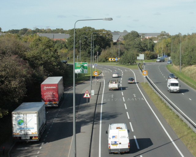
Galleries | A4174 | Bristol | Siston Hill Roundabout | ||
File history
Click on a date/time to view the file as it appeared at that time.
| Date/Time | Thumbnail | Dimensions | User | Comment | |
|---|---|---|---|---|---|
| current | 17:40, 23 April 2018 | | 640 × 513 (201 KB) | C2r (talk | contribs) | '''2009 - A4174 Bristol 'ring' road at Siston Common''' Looking north. The route between here and Shortwood was built on a closed railway line. The road to the left is signposted to Soundwell and New Cheltenham, it also goes to Staple Hill. Leave to th... |
File usage
The following 3 pages use this file: