File:2009 - The western end of Plough Lane - Geograph - 1397957.jpg
Jump to navigation
Jump to search

No higher resolution available.
2009_-_The_western_end_of_Plough_Lane_-_Geograph_-_1397957.jpg (640 × 522 pixels, file size: 164 KB, MIME type: image/jpeg)
| |||||||||||||||||||||||||
|
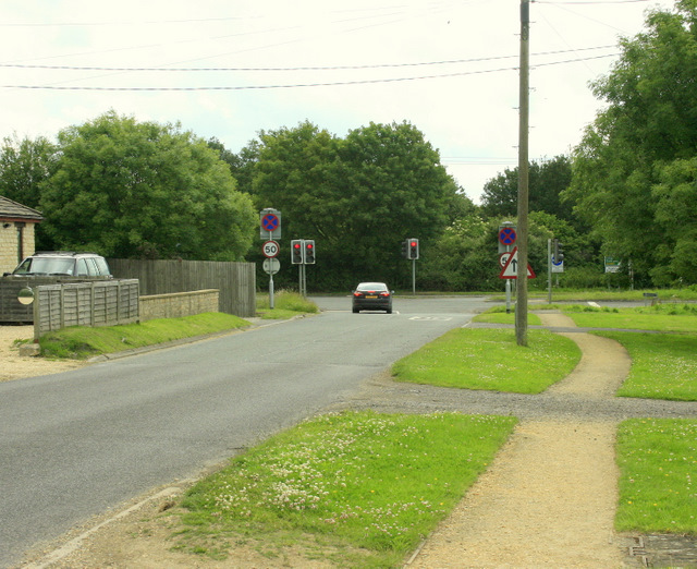
Galleries | A350 | Traffic Signals | Pictures from Geograph | Plough Crossroads | ||
File history
Click on a date/time to view the file as it appeared at that time.
| Date/Time | Thumbnail | Dimensions | User | Comment | |
|---|---|---|---|---|---|
| current | 12:40, 13 January 2019 | | 640 × 522 (164 KB) | C2r (talk | contribs) | '''2009 - The western end of Plough Lane''' Where it meets the A429. All is serenity and bliss, but wait till you get to the traffic lights. Kington Langley is at the other end of Plough Lane, behind the camera. |
File usage
The following page uses this file: