File:2011 - A4175 down Teewell Hill, Staple... (C) Maurice Pullin - Geograph - 2550496.jpg
Jump to navigation
Jump to search

No higher resolution available.
2011_-_A4175_down_Teewell_Hill,_Staple..._(C)_Maurice_Pullin_-_Geograph_-_2550496.jpg (640 × 380 pixels, file size: 79 KB, MIME type: image/jpeg)
| |||||||||||||||||||||||||
|
Galleries | A4175 | B4047 (Gloucestershire) | ||
File history
Click on a date/time to view the file as it appeared at that time.
| Date/Time | Thumbnail | Dimensions | User | Comment | |
|---|---|---|---|---|---|
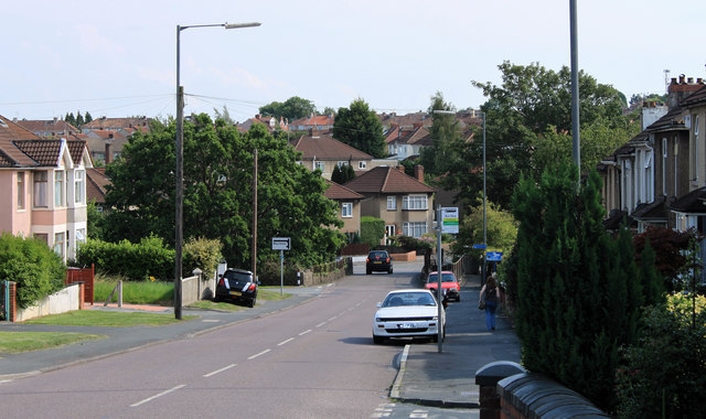
| current | 15:04, 13 September 2014 | | 640 × 380 (79 KB) | Vlad (talk | contribs) | '''2011 - A4175 down Teewell Hill, Staple... (C) Maurice Pullin '''<br/>A disused railway bridge at the bottom crosses the disused Midland Railway line out of Bristol to Mangotsfield - now a cycleway. |
File usage
The following 3 pages use this file:
_Maurice_Pullin_-_Geograph_-_2550496.jpg&oldid=408516)