File:20161026-1607 - N71 Henry Street, Kenmare - 51.87959N 9.58348W.jpg
Jump to navigation
Jump to search

Size of this preview: 800 × 600 pixels. Other resolutions: 2,560 × 1,920 pixels | 3,072 × 2,304 pixels.
Original file (3,072 × 2,304 pixels, file size: 1.59 MB, MIME type: image/jpeg)
| |||||||||||||||||||||||||
|
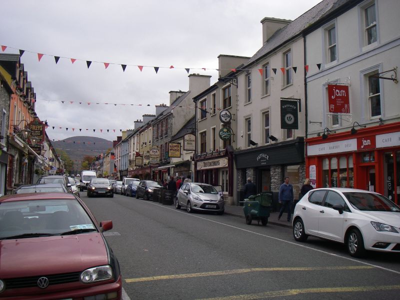
Galleries | N71 | Wild Atlantic Way | Kenmare | Images by C2r | County Kerry | ||
File history
Click on a date/time to view the file as it appeared at that time.
| Date/Time | Thumbnail | Dimensions | User | Comment | |
|---|---|---|---|---|---|
| current | 19:00, 27 October 2016 | | 3,072 × 2,304 (1.59 MB) | C2r (talk | contribs) | Looking back on Henry Street, Kenmare |
File usage
The following 6 pages use this file: