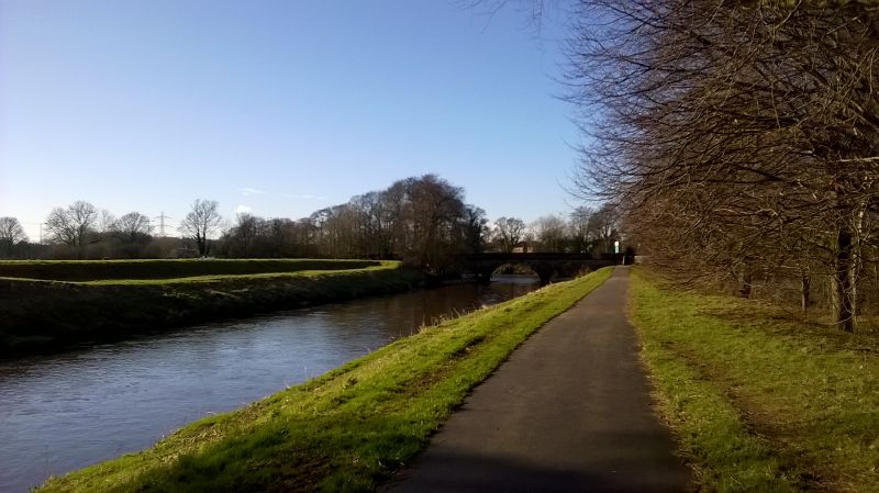
File:20170204-1203 - Cheadle Bridge over the Mersey 53.405921N 2.217238W.jpg
Jump to navigation
Jump to search

Size of this preview: 800 × 449 pixels. Other resolution: 2,592 × 1,456 pixels.
Original file (2,592 × 1,456 pixels, file size: 1.31 MB, MIME type: image/jpeg)
| |||||||||||||||||||||||||
|
Galleries | B5095 | Cheadle Bridge | Images by C2r | ||
File history
Click on a date/time to view the file as it appeared at that time.
| Date/Time | Thumbnail | Dimensions | User | Comment | |
|---|---|---|---|---|---|
| current | 17:23, 14 February 2017 | | 2,592 × 1,456 (1.31 MB) | C2r (talk | contribs) | Cheadle Bridge |
File usage
The following 3 pages use this file: