File:20170918-2050 - US64 heading SE across Lake Dardanelle causeway, Arkansas 35.318231N 93.186973W.jpg
Jump to navigation
Jump to search


Size of this preview: 800 × 600 pixels. Other resolutions: 2,560 × 1,920 pixels | 3,072 × 2,304 pixels.
Original file (3,072 × 2,304 pixels, file size: 1.67 MB, MIME type: image/jpeg)
| |||||||||||||||||||||||||
|
Galleries | US64 | Arkansas | Images by C2r | ||
File history
Click on a date/time to view the file as it appeared at that time.
| Date/Time | Thumbnail | Dimensions | User | Comment | |
|---|---|---|---|---|---|
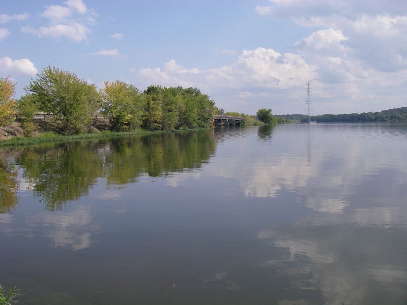
| current | 17:56, 11 August 2018 | | 3,072 × 2,304 (1.67 MB) | C2r (talk | contribs) | US64 heading SE across Lake Dardanelle causeway |
File usage
There are no pages that use this file.