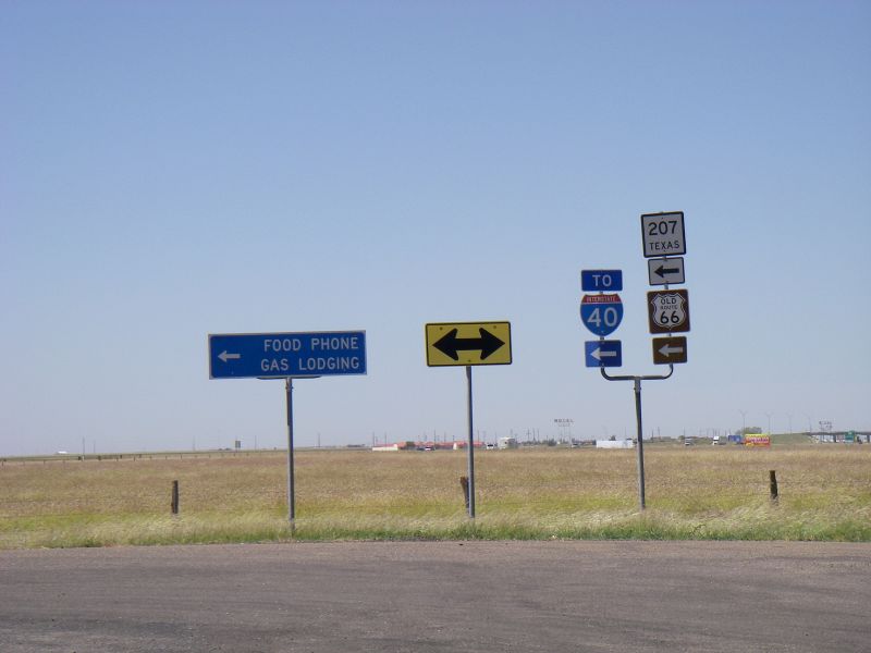
File:20170919-1950 - Collection of signs, Texas 35.2112353N 101.3646232W.jpg
Jump to navigation
Jump to search

Size of this preview: 800 × 600 pixels. Other resolutions: 2,560 × 1,920 pixels | 3,072 × 2,304 pixels.
Original file (3,072 × 2,304 pixels, file size: 1.64 MB, MIME type: image/jpeg)
| |||||||||||||||||||||||||
|
Galleries | I-40 | US66 | TX207 | Texas | Images by C2r | Photo of the Month March 2018 | ||
File history
Click on a date/time to view the file as it appeared at that time.
| Date/Time | Thumbnail | Dimensions | User | Comment | |
|---|---|---|---|---|---|
| current | 18:55, 31 December 2017 | | 3,072 × 2,304 (1.64 MB) | C2r (talk | contribs) | Collection of signs |
File usage
The following page uses this file: