 | |  |
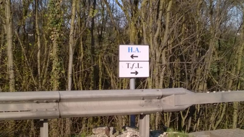
| | Description: | Boundary between Highways England and Transport for London control, | | Location: | 51.441084, 0.170781 | | Road: | A2 | | Date: | 19 04 2018 | | Photographer: | C2r | | Source: | |
|
|
| |
 | |  |
File history
Click on a date/time to view the file as it appeared at that time.
| Date/Time | Thumbnail | Dimensions | User | Comment |
|---|
| current | 12:49, 19 July 2018 |  | 2,592 × 1,456 (1.17 MB) | C2r (talk | contribs) | Boundary between Highways England and Transport for London control, |
File usage
The following 8 pages use this file:
This file contains additional information, probably added from the digital camera or scanner used to create or digitise it.
If the file has been modified from its original state, some details may not fully reflect the modified file.
