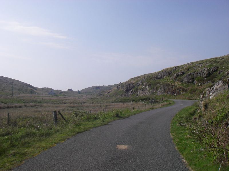
File:20180524-1614 - Road out to Acairseid Pier, Eriskay 57.0683612N 7.2921467W.jpg
Jump to navigation
Jump to search

Size of this preview: 800 × 600 pixels. Other resolutions: 2,560 × 1,920 pixels | 3,072 × 2,304 pixels.
Original file (3,072 × 2,304 pixels, file size: 1.58 MB, MIME type: image/jpeg)
| |||||||||||||||||||||||||
|
Galleries | Eriskay | Images by C2r | ||
File history
Click on a date/time to view the file as it appeared at that time.
| Date/Time | Thumbnail | Dimensions | User | Comment | |
|---|---|---|---|---|---|
| current | 07:34, 11 June 2018 | | 3,072 × 2,304 (1.58 MB) | C2r (talk | contribs) | Road out to Acairseid Pier, Eriskay |
File usage
There are no pages that use this file.