 | |  |
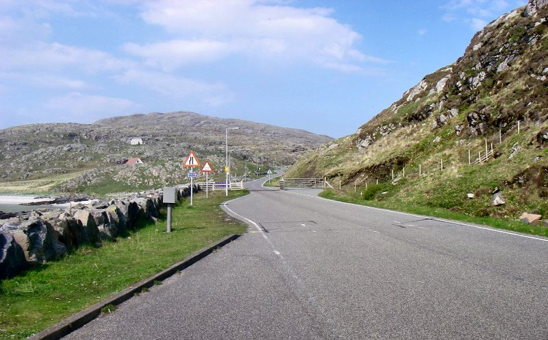
| | Description: | Road up to the village, Eriskay from the Barra pier | | Location: | 57.0707485, -7.3073334 | | Road: | | | Date: | 24 05 2018 | | Photographer: | C2r | | Source: | |
|
|
| |
 | |  |
File history
Click on a date/time to view the file as it appeared at that time.
| Date/Time | Thumbnail | Dimensions | User | Comment |
|---|
| current | 07:40, 11 June 2018 |  | 3,064 × 1,898 (1.3 MB) | C2r (talk | contribs) | Road up to the village, Eriskay from the Barra pier |
File usage
The following page uses this file:
This file contains additional information, probably added from the digital camera or scanner used to create or digitise it.
If the file has been modified from its original state, some details may not fully reflect the modified file.
