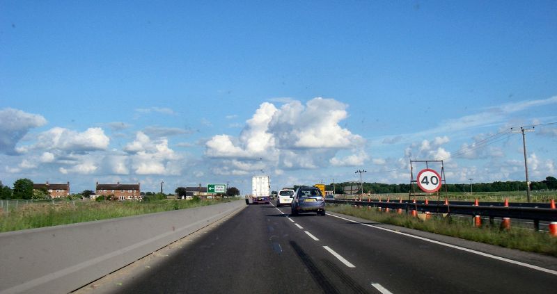
File:20180602-1715 - Farm Access A14 Southbound 52.266869N 0.0020698E- cropped.jpg
Jump to navigation
Jump to search

Size of this preview: 800 × 423 pixels. Other resolution: 3,060 × 1,617 pixels.
Original file (3,060 × 1,617 pixels, file size: 788 KB, MIME type: image/jpeg)
| |||||||||||||||||||||||||
|
Galleries | A14(M) (Expressway) | A14 | A14/Huntingdon to Cambridge Improvement | Images by C2r | ||
File history
Click on a date/time to view the file as it appeared at that time.
| Date/Time | Thumbnail | Dimensions | User | Comment | |
|---|---|---|---|---|---|
| current | 10:53, 5 June 2018 | | 3,060 × 1,617 (788 KB) | C2r (talk | contribs) | Farm Access A14 Southbound |
File usage
The following page uses this file: