 | |  |
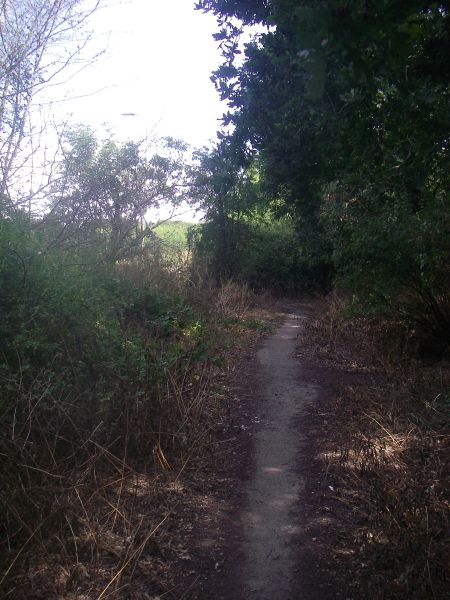
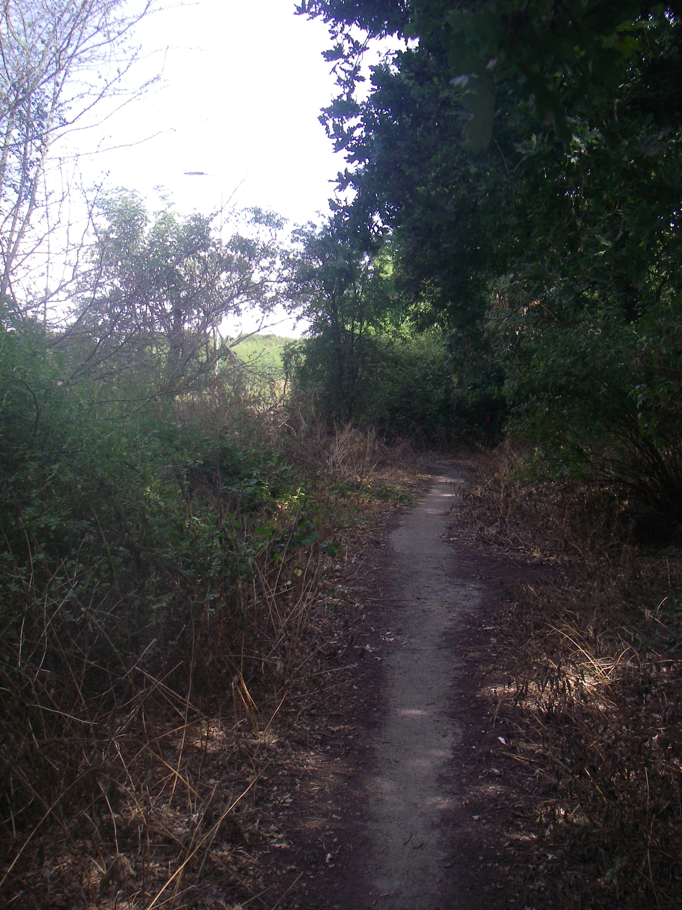
| | Description: | Top end of the B1368 abandoned section at Puckeridge | | Location: | 51.894324, 0.016141 | | Road: | B1368 | | Date: | 04 08 2018 | | Photographer: | C2r | | Source: | |
|
|
| |
 | |  |
File history
Click on a date/time to view the file as it appeared at that time.
| Date/Time | Thumbnail | Dimensions | User | Comment |
|---|
| current | 12:55, 4 August 2018 | 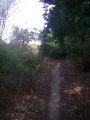 | 2,304 × 3,072 (1.52 MB) | C2r (talk | contribs) | Top end of the B1368 abandoned section at Puckeridge |
File usage
The following page uses this file:
This file contains additional information, probably added from the digital camera or scanner used to create or digitise it.
If the file has been modified from its original state, some details may not fully reflect the modified file.