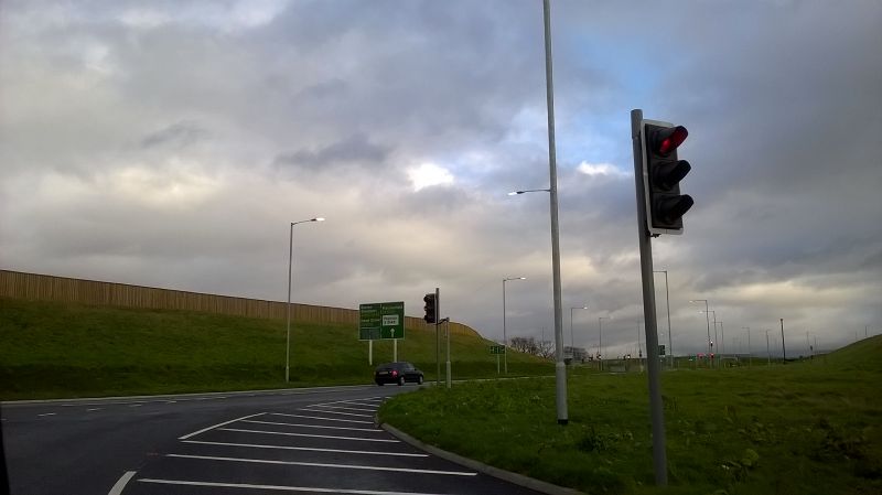
File:20181220-1211 - A555 Chester Road Junction looking east 53.350967N 2.154998W.jpg
Jump to navigation
Jump to search

Size of this preview: 800 × 449 pixels. Other resolution: 2,592 × 1,456 pixels.
Original file (2,592 × 1,456 pixels, file size: 900 KB, MIME type: image/jpeg)
| |||||||||||||||||||||||||
|
Galleries | A555 | Chester Road Junction (Poynton) | Images by C2r | Traffic Signals | ||
File history
Click on a date/time to view the file as it appeared at that time.
| Date/Time | Thumbnail | Dimensions | User | Comment | |
|---|---|---|---|---|---|
| current | 23:24, 20 December 2018 | | 2,592 × 1,456 (900 KB) | C2r (talk | contribs) | A555 Chester Road Junction looking east |
File usage
The following 2 pages use this file: