File:20190404-1936 - Steensons Bridge 54.218782N6.356026W.jpg
Jump to navigation
Jump to search

Size of this preview: 800 × 449 pixels. Other resolution: 2,592 × 1,456 pixels.
Original file (2,592 × 1,456 pixels, file size: 1.12 MB, MIME type: image/jpeg)
| |||||||||||||||||||||||||
|
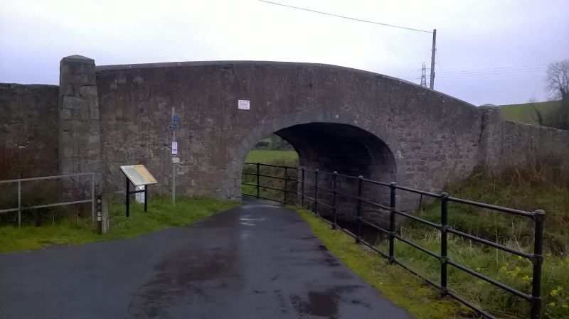
Galleries | Images by C2r | Steenson's Bridge | ||
File history
Click on a date/time to view the file as it appeared at that time.
| Date/Time | Thumbnail | Dimensions | User | Comment | |
|---|---|---|---|---|---|
| current | 22:57, 5 April 2019 | | 2,592 × 1,456 (1.12 MB) | C2r (talk | contribs) | Steenson's Bridge |
File usage
The following page uses this file: