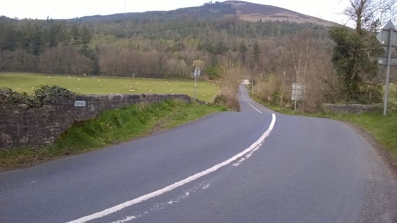
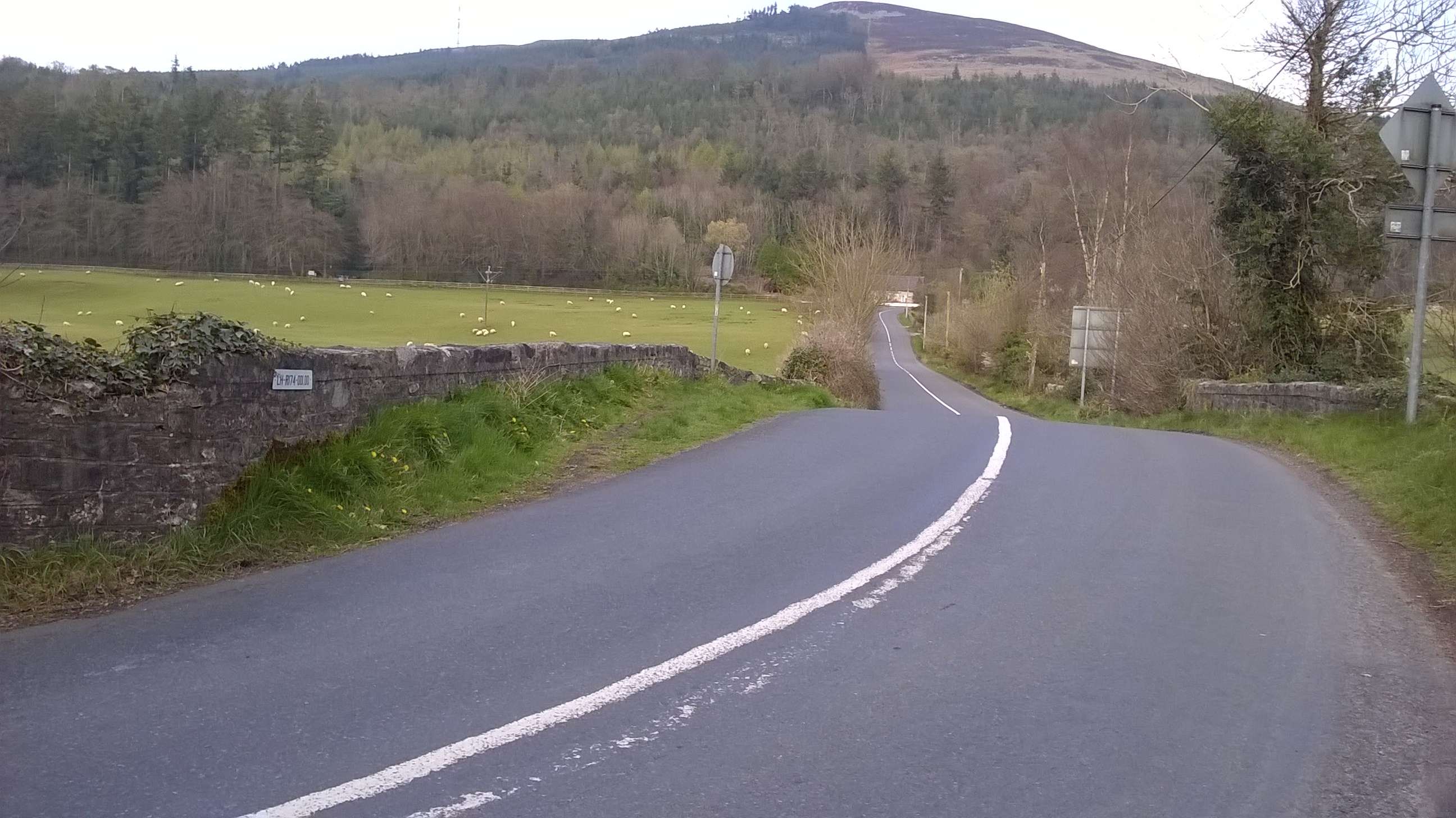
File:20190406-1803 - Currathir Bridge looking east 54.067724N 6.348838W.jpg
Jump to navigation
Jump to search
Size of this preview: 800 × 449 pixels. Other resolution: 2,592 × 1,456 pixels.
Original file (2,592 × 1,456 pixels, file size: 1.28 MB, MIME type: image/jpeg)
| |||||||||||||||||||||||||
|
Galleries | R174 | Currathir Bridge | Images by C2r | County Louth | Ravensdale | Photo of the Month April 2020 | ||
File history
Click on a date/time to view the file as it appeared at that time.
| Date/Time | Thumbnail | Dimensions | User | Comment | |
|---|---|---|---|---|---|
| current | 23:00, 6 April 2019 | | 2,592 × 1,456 (1.28 MB) | C2r (talk | contribs) | Currathir Bridge looking east |
File usage
The following 2 pages use this file: