File:22112010239.JPG
Jump to navigation
Jump to search

Size of this preview: 800 × 600 pixels. Other resolutions: 2,560 × 1,920 pixels | 4,000 × 3,000 pixels.
Original file (4,000 × 3,000 pixels, file size: 1.94 MB, MIME type: image/jpeg)
File history
Click on a date/time to view the file as it appeared at that time.
| Date/Time | Thumbnail | Dimensions | User | Comment | |
|---|---|---|---|---|---|
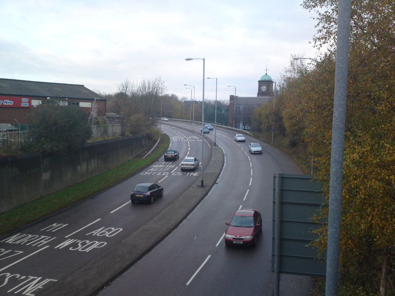
| current | 13:12, 30 November 2010 | | 4,000 × 3,000 (1.94 MB) | Craiga617 (talk | contribs) | A6009 ST. PETERS WAY MANSFIELD RING ROAD |