File:A1(M) at Coatham Mundeville - Geograph - 1745885.jpg
Jump to navigation
Jump to search

No higher resolution available.
A1(M)_at_Coatham_Mundeville_-_Geograph_-_1745885.jpg (640 × 480 pixels, file size: 55 KB, MIME type: image/jpeg)
| |||||||||||||||||||||||||
|
Galleries | A1(M) | Aycliffe Interchange | ||
File history
Click on a date/time to view the file as it appeared at that time.
| Date/Time | Thumbnail | Dimensions | User | Comment | |
|---|---|---|---|---|---|
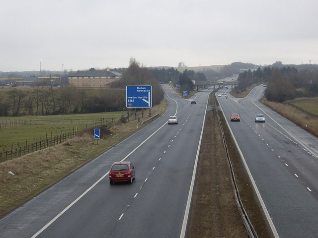
| current | 19:48, 10 March 2010 | | 640 × 480 (55 KB) | Jeni (talk | contribs) | '''A1(M) at Coatham Mundeville'''<br/>Junction 59 (A167) from Whiley Hill lane bridge. |
File usage
The following 2 pages use this file:
_at_Coatham_Mundeville_-_Geograph_-_1745885.jpg&oldid=619926)