File:A1(T) junction - Geograph - 215434.jpg
Jump to navigation
Jump to search

No higher resolution available.
A1(T)_junction_-_Geograph_-_215434.jpg (640 × 479 pixels, file size: 90 KB, MIME type: image/jpeg)
| |||||||||||||||||||||||||
|
Galleries | A1 | Catterick North Interchange | Yorkshire | ||
File history
Click on a date/time to view the file as it appeared at that time.
| Date/Time | Thumbnail | Dimensions | User | Comment | |
|---|---|---|---|---|---|
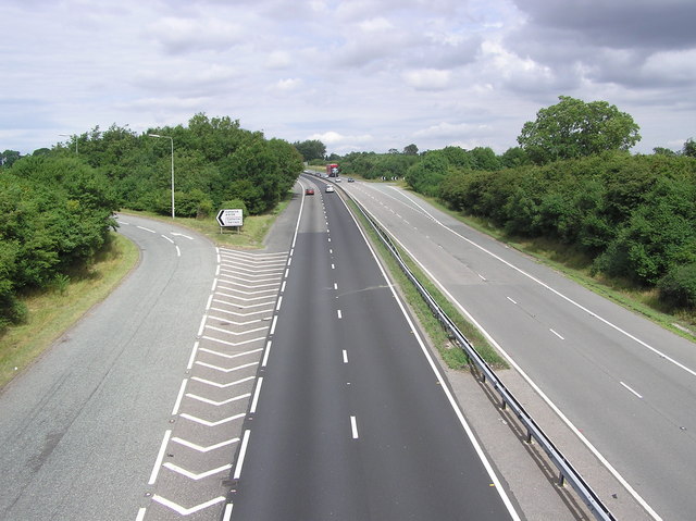
| current | 08:19, 11 March 2018 | | 640 × 479 (90 KB) | C2r (talk | contribs) | '''A1(T) junction''' Looking north. From this point following the course of Dere Street Roman Road. |
File usage
The following page uses this file:
_junction_-_Geograph_-_215434.jpg&oldid=479007)