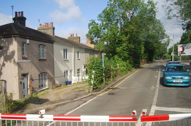
File:A1090, Purfleet (C) N Chadwick - Geograph - 2516002.jpg
Jump to navigation
Jump to search

No higher resolution available.
A1090,_Purfleet_(C)_N_Chadwick_-_Geograph_-_2516002.jpg (640 × 422 pixels, file size: 84 KB, MIME type: image/jpeg)
| |||||||||||||||||||||||||
|
Galleries | A1090 (Purfleet) | Level Crossing | ||
File history
Click on a date/time to view the file as it appeared at that time.
| Date/Time | Thumbnail | Dimensions | User | Comment | |
|---|---|---|---|---|---|
| current | 15:54, 27 May 2014 | | 640 × 422 (84 KB) | Vlad (talk | contribs) | A1090, Purfleet (C) N Chadwick |
File usage
The following page uses this file:
_N_Chadwick_-_Geograph_-_2516002.jpg&oldid=375501)