File:A1092 crosses Baythorne Bridge (C) Stuart Logan - Geograph - 3618190.jpg
Jump to navigation
Jump to search

No higher resolution available.
A1092_crosses_Baythorne_Bridge_(C)_Stuart_Logan_-_Geograph_-_3618190.jpg (640 × 473 pixels, file size: 104 KB, MIME type: image/jpeg)
| |||||||||||||||||||||||||
|
Galleries | A1092 | Baythorn Bridge | ||
File history
Click on a date/time to view the file as it appeared at that time.
| Date/Time | Thumbnail | Dimensions | User | Comment | |
|---|---|---|---|---|---|
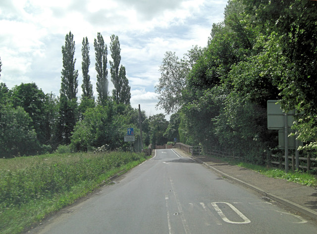
| current | 19:00, 29 October 2014 | | 640 × 473 (104 KB) | Jeni (talk | contribs) | '''A1092 crosses Baythorne Bridge (C) Stuart Logan '''<br/>The bridge is Grade II listed with English Heritage Building ID: 114082. It dates from the late 18th or early 19th C. and crosses the River Stour, which itself delineates the border between Suf... |
File usage
The following 2 pages use this file:
_Stuart_Logan_-_Geograph_-_3618190.jpg&oldid=389879)