File:A10 looking north - Geograph - 4626599.jpg
Jump to navigation
Jump to search

No higher resolution available.
A10_looking_north_-_Geograph_-_4626599.jpg (640 × 480 pixels, file size: 115 KB, MIME type: image/jpeg)
| |||||||||||||||||||||||||
|
Galleries | A10 | Hoddesdon Interchange | D2 | ||
File history
Click on a date/time to view the file as it appeared at that time.
| Date/Time | Thumbnail | Dimensions | User | Comment | |
|---|---|---|---|---|---|
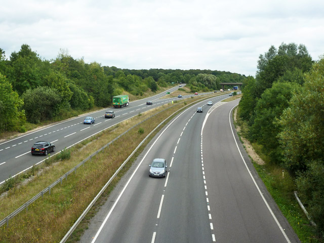
| current | 17:49, 6 July 2016 | | 640 × 480 (115 KB) | C2r (talk | contribs) | '''A10 looking north''' A view from the Lord Street bridge. The slip roads are for the spur into central Hoddesdon. |
File usage
The following 2 pages use this file: