File:A1205 (C) N Chadwick - Geograph - 3807487.jpg
Jump to navigation
Jump to search

No higher resolution available.
A1205_(C)_N_Chadwick_-_Geograph_-_3807487.jpg (640 × 430 pixels, file size: 66 KB, MIME type: image/jpeg)
| |||||||||||||||||||||||||
|
Galleries | A1205 | ||
File history
Click on a date/time to view the file as it appeared at that time.
| Date/Time | Thumbnail | Dimensions | User | Comment | |
|---|---|---|---|---|---|
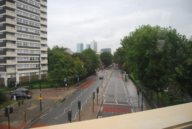
| current | 20:00, 12 June 2014 | | 640 × 430 (66 KB) | Vlad (talk | contribs) | '''A1205 (C) N Chadwick '''<br/> The A1205 is a road in east London which runs north to south parallel to the Regent's Canal and connects South Hackney and Victoria Park with the A13 at Limehouse. It is approximately 2 miles in length, and runs in a... |
File usage
The following page uses this file:
_N_Chadwick_-_Geograph_-_3807487.jpg&oldid=378103)