File:A1246 (old A1) between Ferrybridge & Brotherton - Coppermine - 21256.JPG
Jump to navigation
Jump to search

Size of this preview: 799 × 599 pixels. Other resolution: 909 × 682 pixels.
Original file (909 × 682 pixels, file size: 78 KB, MIME type: image/jpeg)
| |||||||||||||||||||||||||
|
Galleries | A1246 | A1 | Warning Sign/Dual Carriageway Ends | D2 | ||
File history
Click on a date/time to view the file as it appeared at that time.
| Date/Time | Thumbnail | Dimensions | User | Comment | |
|---|---|---|---|---|---|
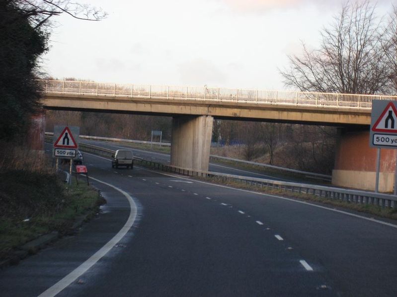
| current | 18:10, 4 May 2010 | | 909 × 682 (78 KB) | Bob@romiley1 (talk | contribs) | '''a1246 (old A1) between Ferrybridge & Brotherton''' Heading north curving round under the railway bridge the D2 section ends near Brotherton <small>''Originally uploaded to Coppermine on Jan 24, 2009 by leopard680''</small> |
File usage
The following page uses this file:
_between_Ferrybridge_%26_Brotherton_-_Coppermine_-_21256.JPG&oldid=482372)