File:A13, Canning Town - Geograph - 2237312.jpg
Jump to navigation
Jump to search

No higher resolution available.
A13,_Canning_Town_-_Geograph_-_2237312.jpg (640 × 480 pixels, file size: 53 KB, MIME type: image/jpeg)
| |||||||||||||||||||||||||
|
Galleries | A13 | Barking Road Bridge | ||
File history
Click on a date/time to view the file as it appeared at that time.
| Date/Time | Thumbnail | Dimensions | User | Comment | |
|---|---|---|---|---|---|
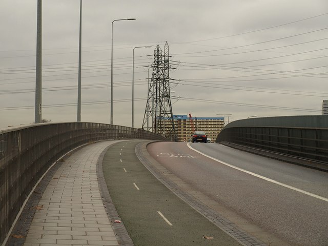
| current | 12:47, 1 June 2016 | | 640 × 480 (53 KB) | Jeni (talk | contribs) | '''A13, Canning Town''' Part of the road system crossing the River Lee from South Bromley into Cannin Town. |
File usage
The following 2 pages use this file: