File:A130 map.png
Jump to navigation
Jump to search


No higher resolution available.
A130_map.png (250 × 425 pixels, file size: 47 KB, MIME type: image/png)
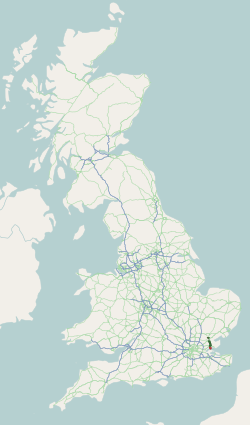
This page contains a map generated using data from OpenStreetMap and licensed under CC-by-SA
File history
Click on a date/time to view the file as it appeared at that time.
| Date/Time | Thumbnail | Dimensions | User | Comment | |
|---|---|---|---|---|---|
| current | 19:01, 25 October 2009 | | 250 × 425 (47 KB) | Capsulk (talk | contribs) | {{Information |description = |day = |month = |year = |photographer = |source = |road = A130 |lat = |lng = }} |
| 01:50, 3 January 2009 |  | 250 × 425 (48 KB) | Tom (talk | contribs) | Map generated using data from [http://www.openstreetmap.org/ OpenStreetMap] and licensed under [http://creativecommons.org/licenses/by-sa/2.0/ CC-by-SA] |
File usage
There are no pages that use this file.