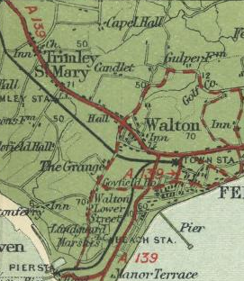
File:A139 (Ipswich - Felixstowe)-map.png
Jump to navigation
Jump to search

No higher resolution available.
A139_(Ipswich_-_Felixstowe)-map.png (271 × 312 pixels, file size: 186 KB, MIME type: image/png)
| |||||||||||||||||||||||||
|
Galleries | A139 (Ipswich - Felixstowe) | Bartholomews Mapping | ||
File history
Click on a date/time to view the file as it appeared at that time.
| Date/Time | Thumbnail | Dimensions | User | Comment | |
|---|---|---|---|---|---|
| current | 10:27, 28 April 2010 | | 271 × 312 (186 KB) | Ritchie333 (talk | contribs) | Original A139 near Felixstowe |
File usage
The following 2 pages use this file:
-map.png&oldid=619143)