File:A14 and River Avon - Geograph - 1778696.jpg
Jump to navigation
Jump to search

No higher resolution available.
A14_and_River_Avon_-_Geograph_-_1778696.jpg (640 × 480 pixels, file size: 83 KB, MIME type: image/jpeg)
| |||||||||||||||||||||||||
|
Galleries | A14 | A14 Bridge | ||
File history
Click on a date/time to view the file as it appeared at that time.
| Date/Time | Thumbnail | Dimensions | User | Comment | |
|---|---|---|---|---|---|
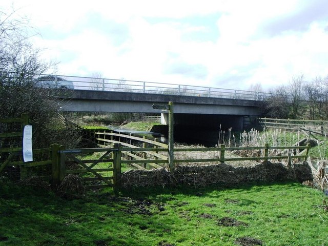
| current | 13:56, 19 August 2010 | | 640 × 480 (83 KB) | Bob@romiley1 (talk | contribs) | '''A14 and River Avon'''<br/>Gated bridleway crosses under A14 alongside River Avon. Catthorpe interchange (M6 / M1) is a mile and half north-west (to right). |
File usage
The following 2 pages use this file: