File:A14 at the junction for Leighton Bromswold - Geograph - 3580452.jpg
Jump to navigation
Jump to search

No higher resolution available.
A14_at_the_junction_for_Leighton_Bromswold_-_Geograph_-_3580452.jpg (640 × 480 pixels, file size: 45 KB, MIME type: image/jpeg)
| |||||||||||||||||||||||||
|
Galleries | A14 | C100 (Cambridgeshire) | Leighton Bromswold Interchange | ||
File history
Click on a date/time to view the file as it appeared at that time.
| Date/Time | Thumbnail | Dimensions | User | Comment | |
|---|---|---|---|---|---|
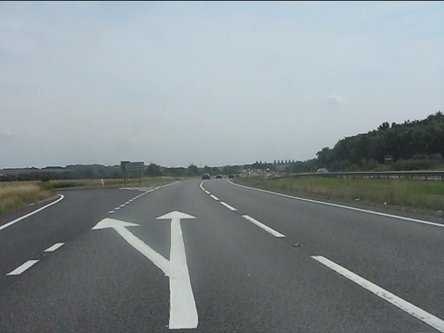
| current | 10:56, 26 February 2018 | | 640 × 480 (45 KB) | C2r (talk | contribs) | '''A14 at the junction for Leighton Bromswold''' A simple junction on the flat, made safer by a wide central reservation for turning traffic. |
File usage
The following 3 pages use this file: