File:A14 road improvements - Geograph - 5392099.jpg
Jump to navigation
Jump to search

No higher resolution available.
A14_road_improvements_-_Geograph_-_5392099.jpg (640 × 480 pixels, file size: 125 KB, MIME type: image/jpeg)
| |||||||||||||||||||||||||
|
Galleries | A14 | A14/Huntingdon to Cambridge Improvement | ||
File history
Click on a date/time to view the file as it appeared at that time.
| Date/Time | Thumbnail | Dimensions | User | Comment | |
|---|---|---|---|---|---|
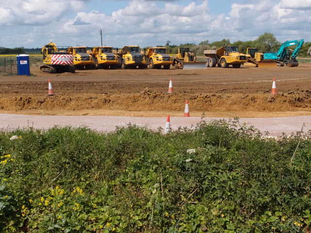
| current | 09:54, 5 April 2018 | | 640 × 480 (125 KB) | C2r (talk | contribs) | '''A14 road improvements''' A line up of plant equipment being used in the construction of the new route around Huntingdon for the A14 |
File usage
There are no pages that use this file.