File:A14 road improvements - Geograph - 5392299.jpg
Jump to navigation
Jump to search

No higher resolution available.
A14_road_improvements_-_Geograph_-_5392299.jpg (640 × 480 pixels, file size: 116 KB, MIME type: image/jpeg)
| |||||||||||||||||||||||||
|
Galleries | A14 | A14/Huntingdon to Cambridge Improvement | ||
File history
Click on a date/time to view the file as it appeared at that time.
| Date/Time | Thumbnail | Dimensions | User | Comment | |
|---|---|---|---|---|---|
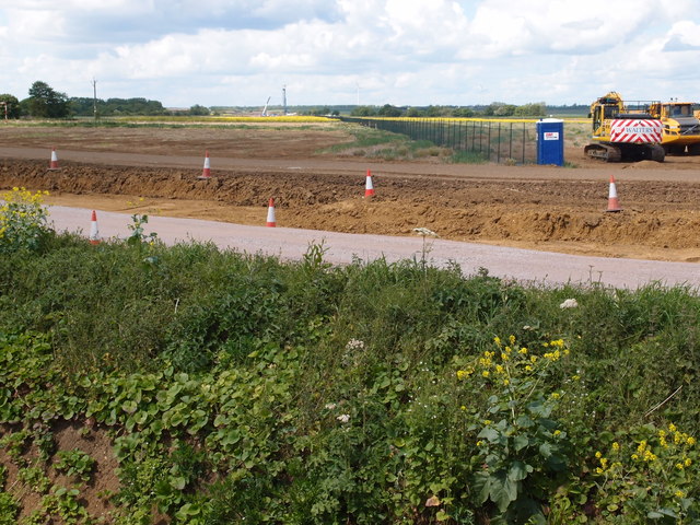
| current | 09:53, 5 April 2018 | | 640 × 480 (116 KB) | C2r (talk | contribs) | '''A14 road improvements''' North Westerly view of the carriageway line towards the Hilton to St Ives road. |
File usage
There are no pages that use this file.