File:A167(M) map.png
Jump to navigation
Jump to search


No higher resolution available.
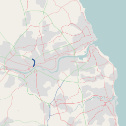
A167(M)_map.png (250 × 250 pixels, file size: 30 KB, MIME type: image/png)
This page contains a map generated using data from OpenStreetMap and licensed under CC-by-SA
File history
Click on a date/time to view the file as it appeared at that time.
| Date/Time | Thumbnail | Dimensions | User | Comment | |
|---|---|---|---|---|---|
| current | 23:02, 1 June 2009 | | 250 × 250 (30 KB) | Nowster (talk | contribs) | {{Copyright OpenStreetMap}} |
File usage
There are no pages that use this file.
_map.png&oldid=392973)