File:A17 out of Andreas (C) Glyn Baker - Geograph - 3406086.jpg
Jump to navigation
Jump to search

No higher resolution available.
A17_out_of_Andreas_(C)_Glyn_Baker_-_Geograph_-_3406086.jpg (640 × 424 pixels, file size: 74 KB, MIME type: image/jpeg)
| |||||||||||||||||||||||||
|
Galleries | A17 (Isle of Man) | Andreas | ||
File history
Click on a date/time to view the file as it appeared at that time.
| Date/Time | Thumbnail | Dimensions | User | Comment | |
|---|---|---|---|---|---|
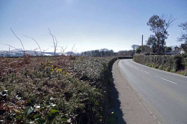
| current | 21:20, 17 June 2013 | | 640 × 424 (74 KB) | Si404 (talk | contribs) | '''A17 out of Andreas (C) Glyn Baker '''<br/>Sun on the northern plain of the Isle Of Man but snow still visible on the peaks |
File usage
The following 3 pages use this file:
_Glyn_Baker_-_Geograph_-_3406086.jpg&oldid=347727)