File:A194 at Lindisfarne Roundabout - Geograph - 4741907.jpg
Jump to navigation
Jump to search

No higher resolution available.
A194_at_Lindisfarne_Roundabout_-_Geograph_-_4741907.jpg (640 × 480 pixels, file size: 61 KB, MIME type: image/jpeg)
| |||||||||||||||||||||||||
|
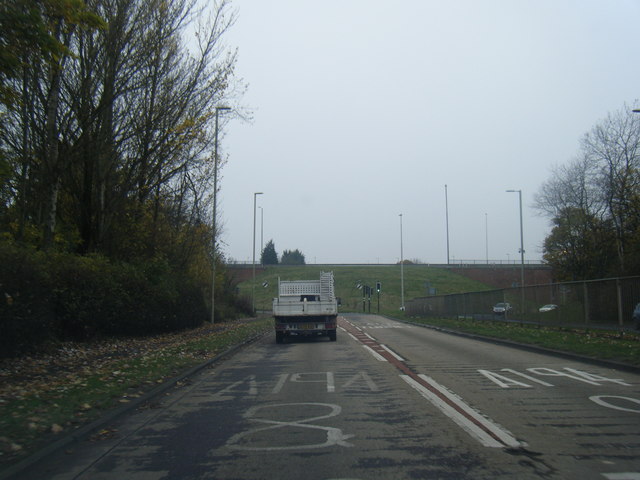
Galleries | A194 | A19 | South Shields | Lindisfarne Interchange | ||
File history
Click on a date/time to view the file as it appeared at that time.
| Date/Time | Thumbnail | Dimensions | User | Comment | |
|---|---|---|---|---|---|
| current | 14:15, 9 January 2018 | | 640 × 480 (61 KB) | Gc a690 (talk | contribs) | Approaching Lindisfarne Roundabout from the east, prior to the widening works completed in 2017 |
File usage
The following 4 pages use this file: