File:A19 near Murton - Geograph - 3238289.jpg
Jump to navigation
Jump to search

No higher resolution available.
A19_near_Murton_-_Geograph_-_3238289.jpg (640 × 360 pixels, file size: 81 KB, MIME type: image/jpeg)
| |||||||||||||||||||||||||
|
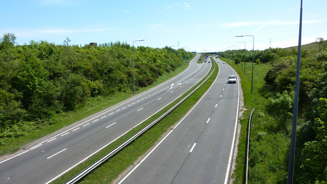
Galleries | A19 | A182 | B1285 | Cold Hesledon Interchange | ||
File history
Click on a date/time to view the file as it appeared at that time.
| Date/Time | Thumbnail | Dimensions | User | Comment | |
|---|---|---|---|---|---|
| current | 13:27, 8 January 2018 | | 640 × 360 (81 KB) | Gc a690 (talk | contribs) | The southbound off-slip diverges from the A19 at Cold Hesledon, viewed from the B1285 overbridge |
File usage
The following 3 pages use this file: