File:A19 road sign - Geograph - 199710.jpg
Jump to navigation
Jump to search

No higher resolution available.
A19_road_sign_-_Geograph_-_199710.jpg (640 × 480 pixels, file size: 106 KB, MIME type: image/jpeg)
| |||||||||||||||||||||||||
|
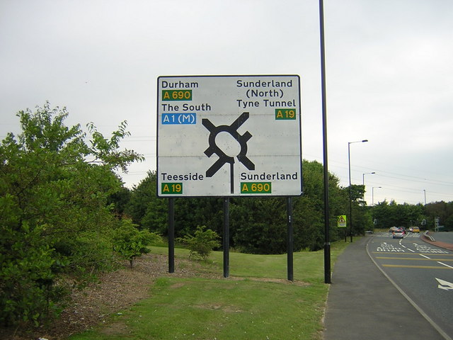
Galleries | A19 | A690 | B1286 | Sunderland | Herrington Interchange | ||
File history
Click on a date/time to view the file as it appeared at that time.
| Date/Time | Thumbnail | Dimensions | User | Comment | |
|---|---|---|---|---|---|
| current | 14:17, 5 January 2018 | | 640 × 480 (106 KB) | Gc a690 (talk | contribs) | Approach to Herrington Interchange on City Way |
File usage
The following 5 pages use this file: