File:A1 - A168 (A19) Junction - Geograph - 257031.jpg
Jump to navigation
Jump to search

No higher resolution available.
A1_-_A168_(A19)_Junction_-_Geograph_-_257031.jpg (640 × 480 pixels, file size: 49 KB, MIME type: image/jpeg)
| |||||||||||||||||||||||||
|
Galleries | A1(M) | A168 | A1 | Dishforth Interchange | A1 Dishforth - Barton | D3 | Highways Agency | ||
File history
Click on a date/time to view the file as it appeared at that time.
| Date/Time | Thumbnail | Dimensions | User | Comment | |
|---|---|---|---|---|---|
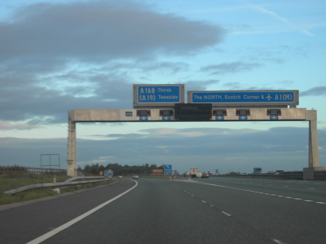
| current | 18:39, 15 July 2010 | | 640 × 480 (49 KB) | Bob@romiley1 (talk | contribs) | '''A1 - A168 (A19) Junction'''<br/>Junction on the A1 near Thirsk. |
File usage
The following 4 pages use this file:
_Junction_-_Geograph_-_257031.jpg&oldid=191286)