File:A1 near Elkesley - Geograph - 4701004.jpg
Jump to navigation
Jump to search

No higher resolution available.
A1_near_Elkesley_-_Geograph_-_4701004.jpg (640 × 480 pixels, file size: 93 KB, MIME type: image/jpeg)
| |||||||||||||||||||||||||
|
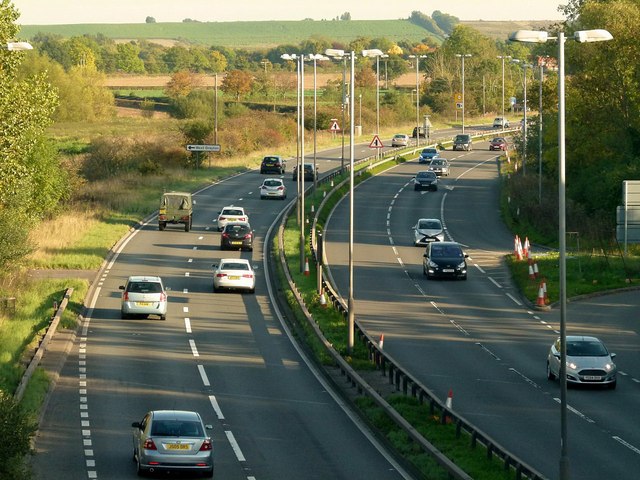
Galleries | A1 | ||
File history
Click on a date/time to view the file as it appeared at that time.
| Date/Time | Thumbnail | Dimensions | User | Comment | |
|---|---|---|---|---|---|
| current | 18:44, 16 August 2020 | | 640 × 480 (93 KB) | Ross spur (talk | contribs) | '''A1 East of Elkesley'''. |
File usage
The following page uses this file: