File:A2-1922.jpg
Jump to navigation
Jump to search

Size of this preview: 763 × 599 pixels. Other resolution: 1,137 × 893 pixels.
Original file (1,137 × 893 pixels, file size: 441 KB, MIME type: image/jpeg)
File history
Click on a date/time to view the file as it appeared at that time.
| Date/Time | Thumbnail | Dimensions | User | Comment | |
|---|---|---|---|---|---|
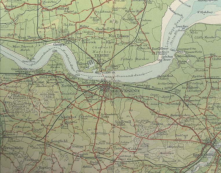
| current | 17:26, 3 June 2009 | | 1,137 × 893 (441 KB) | Steven (talk | contribs) | {{Information |description = 1922 map of A2 running via Gravesend and Nortfleet |day = |month = |year = 1922 |photographer = |source = Bartholomew's Revised Half Inch to Mile Sheet |
File usage
The following 2 pages use this file: